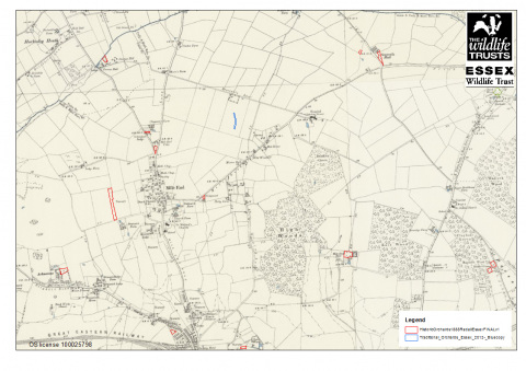
Essex Wildlife Trust Biological Records Centre has recently been working with other records centres in the East of England region to map and survey known orchard sites as part of a three year lottery funded project. The first phase of the Orchards East project involved mapping historic orchard sites from the 2nd Edition Ordnance Survey maps of the early 20th Century. In total over 4,000 historic orchard sites were identified in Essex.
The project is run by the University of East Anglia and the resulting dataset produced by this first phase of work will be used in the later stages of the project. The dataset provides a valuable record of the changes in land use that have occureed in Essex over time, and can be compared with the distribution of orchards across other counties in the region. Following the Orchards East inaugural conference in 8th July 2017, there will be a number of events and training courses run across the region in the coming months. The next phase of the project will be launched in Essex in spring 2018, details will follow nearer the time. For more information about the project, please visit the Orchards East website: https://www.uea.ac.uk/orchards-east.
